Christmas Village – Mt Anglem – Yankee River, 19.7 km
Tuesday, February 12: A few light showers during the day, heavier in the evening
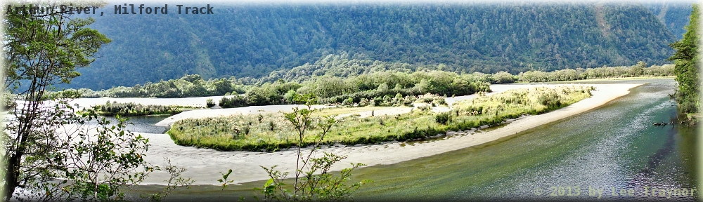
GPS Tour
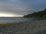
Christmas Village in the morning
Two snorers – the far worse was Ross, but Bernhard also joined in the concertino russamento. I slept until 1:00 before being awoken, and then I searched around for an aspirin, as I had a headache, but nothing could be found. Went out for a pee and heard a possum; then it was intermittent sleep until 6:30 when everyone got up and had breakfast. We were all going up Mt Anglem, but only I was going to attempt to get to Yankee River before the rain set in.
Track to Mt Anglem was steep at first, and then there was an interlude which gradually gained in height; underfoot the ground was, however, mainly tree roots. Then there was another ascent through what appeared to be mainly celery pine; and finally the snow line was reached. Now it was both muddy and boggy. The trio had left first, but I had caught up with them at one of their breaks just below the snow line, and I took a break for myself. I could see them progressing up the rest of the mountain, but I had set a time limit of 2½ hours for the ascent, so at 11:30 I started coming back down. Had taken a couple of very dark pictures on the way, but cloud was moving in and that precluded any attempts at pictures with or without the filter.
On the way down I started thinking about the amount of water that I had consumed that morning and thought I might need a little salt, so completing my descent in 1½ hours I dropped my pack and walked back to the hut where there was both freshwater and saline. Almost immediately drank half a litre of ~20% sea water and made up a 1 L bottle of 10% sea water. Then it was back to the junction for lunch.
Now I had to set my goals carefully. If Yankee River was six hours, then leaving at 1:30 I should arrive at the latest at 7:30; but I might also go under the time, say 4½ hours, in which case I would be in by 6:00. This meant I could have at least three breaks at 3:00, 4:30, and 6:00, hopefully the last one just before the hut.
I somehow had hurt the outside of my left foot coming down the mountain, but I trudged on nonetheless. The track up to Lucky Bay is in quite good condition and does not have as many descents and ascents when crossing creeks (quite recognisable from the watershed maps). At one point startled something reddish which jumped about (Kangaroo? No, deer), and was in Lucky Bay for my second (saline) break. Taking the maps out I was quite optimistic about reaching the hut soon, however the track was a bit of a nightmare, with a very steep part at the beginning and countless steep approaches to streams. I had to take the map out again to see if I had overshot the mark, but I would have to have crossed Yankee River on a bridge, and that was not yet the case. Stopped once for a freshwater stop and noticed that the GPS had conked out (no wonder) & replaced the batteries. Pretty soon afterwards the sound of the river could be heard and a turnoff was marked.
Unpacking everything at the hut I discovered that there were no meds packed away in the usually suspected places; I had lost a sock drying on the outside of the pack and had a bit of a runny tummy. Set to work on the washing, cooking plain rice with surprise mixed vegetables and have lit a fire which is very cosy. Now to attempt to save the eggs which had not been as thoroughly hard-boiled as I imagined and then it will be bed very soon. Will probably take the next two huts as easy days.
| GPS Tour: North-West Circuit 3: Christmas Village – Mt.Anglem – Yankee River |
|---|
| NB: Data is missing for about 1300 m of the track between 17.1 and 18.4 km |